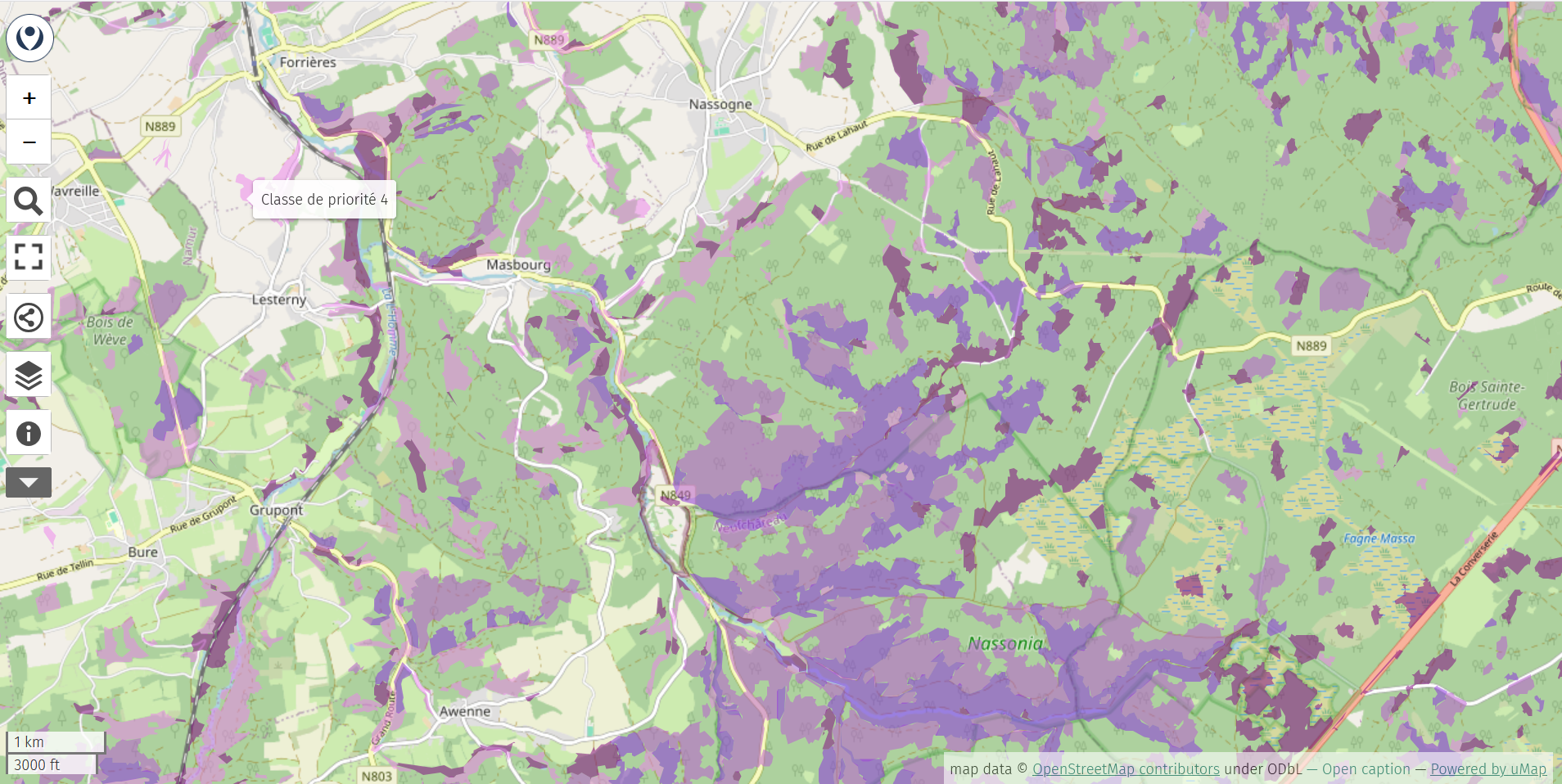
Forests with a high degree of naturalness account for 23% of Wallonia’s forests yet only 3,3% currently benefit from strong legal protection.
To help raise awareness, Forêt & Naturalité and WWF Belgium have created an interactive map that is freely accessible to everyone.
More than just a map, this tool also supports policymakers by highlighting the forest areas where conservation and restoration efforts should be prioritized.
For this project, Forêt & Nature and WWF Belgium chose uMap, an open-source tool that makes it easy to create custom interactive maps using #OpenStreetMap as the basemap.
https://umap.openstreetmap.fr/en/map/foret-naturalite-walnat-1_1381235
Learn more about the project: https://foret-naturalite.be/ressources/dossiers/walnat-1-identifier-des-forets-a-proteger-et-a-respecter/
Learn more about creating maps with uMap: https://umap.openstreetmap.fr/en/