Next event :

Our projects

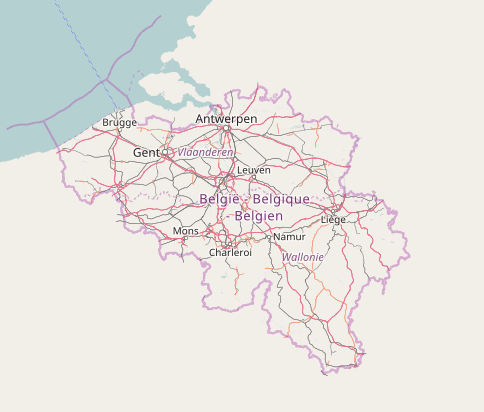
Free Belgium Baselayers

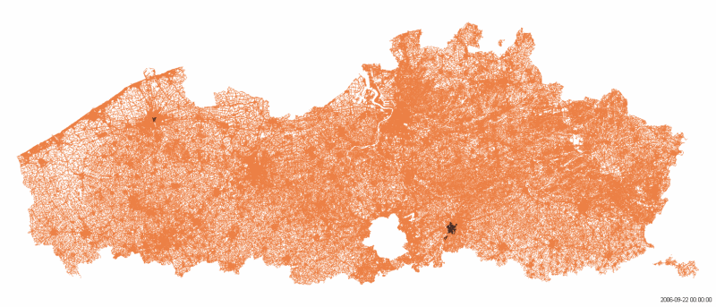
Through this project we offer a OpenStreetMap baselayer for Belgium. This baselayer is be available for anyone using OpenLayers, Leaflet, … for free. Most tile servers have a usage policy meaning you have to use commercial tiles servers (like Mapbox, Stamen, …) or host your tiles server yourself. We want to provide you with a third option, at least for Belgium, that is both open, free and easy to use.

Jonathan Beliën

Hiking maps with OSM!

Free local maps, optimized for hiking! In collaboration with OpenStreetMap Belgium, the website hiking.osm.be offers topographic hiking maps ready to print. These maps highlight the marked trails routes in Belgium, on a detailed topographic background. This topographic background is based on the OpenArdenneMap cartographic style, a style specifically developed for printed maps, with a low number of colors, clear contrasts, and a strong emphasis on labels (based on the Alfphabet font), in the tradition of the Belgian NGI topographic maps of the 1960s to 1980s.

Julien Minet

Mapathons

At OpenStreetMap Belgium, we support the Missing Maps project by doing regular Mapathons. Each year, disasters around the world kill nearly 100,000 and affect or displace 200 million people. Many of the places where these disasters occur are literally ‘missing’ from any map and first responders lack the information to make valuable decisions regarding relief efforts.

OpenStreetMap Belgium

Mapper of the Month

Mapper of the month has been one of our longest running projects. We noticed there is a lot of attention for those who have OSM as their job or are software developers using OSM but not as much for the mappers at the core of the OSM community. From the start the main the Goal of the project is to put the splotlight on those mappers.

Pierre Parmentier & Marc Gemis

Open Street Level Imagery

Why street level imagery matters and why it should be open All around the world, people are making a digital twin of the world. They might want to know where the shops are, need data to train a driverless car algorithm, or want to know where the traffic signs are. This work is done by private companies, by government, and by volunteers in crowdsourcing projects.

Joost Schouppe

Road completion project

We’re called OpenSTREETMap for a reason: we have an excellent road network. With turn restrictions and lane navigation, hiking paths and cycle lanes. But there are still some basic mistakes here and there. We aim to correct these mistakes by using open government datasets to verify and detect missing data. Meanwhile, we’ll improve government data too, and offer you a guaranteed minimum quality.

Joost Schouppe, Ben Abelshausen & Jonathan Beliën

Traffic Sign Project

In Flanders, all traffic signs are open data. This information is hugely useful. Well, it could be. Most of the traffic signs date from several years back and have not been updated since. The Flemish Verkeersborden.vlaanderen project intends to change that. Municipality by municipality, we see updates starting to happen. Several of them have done a complete update, or at least do occasional additions.

Joost Schouppe, Ivan Diaz

MapComplete

More and more use OpenStreetMap (OSM) as their basemap. But we’re not just a map - we’re an open spatial database. How many apps do you know that collect drinking fountains, public toilets, camping spots, bars with wifi, parking info etc? Unfortunately, all of these apps have their own little data island.

Pieter Vander Vennet

Heritage in Flanders and Crowd-Sourced Projects

Introduction In this article I want to show you how one can add information about immovable heritage to crowdsourced projects such as OpenStreetMap and some of the projects of Wikimedia. In Belgium, the list of immovable heritage is controlled by three agencies, one for Flanders, one for Brussels and one for Wallonia.

escada