Mapper of the Month: Jorieke Vyncke
20.08.2016 - Marc Gemis
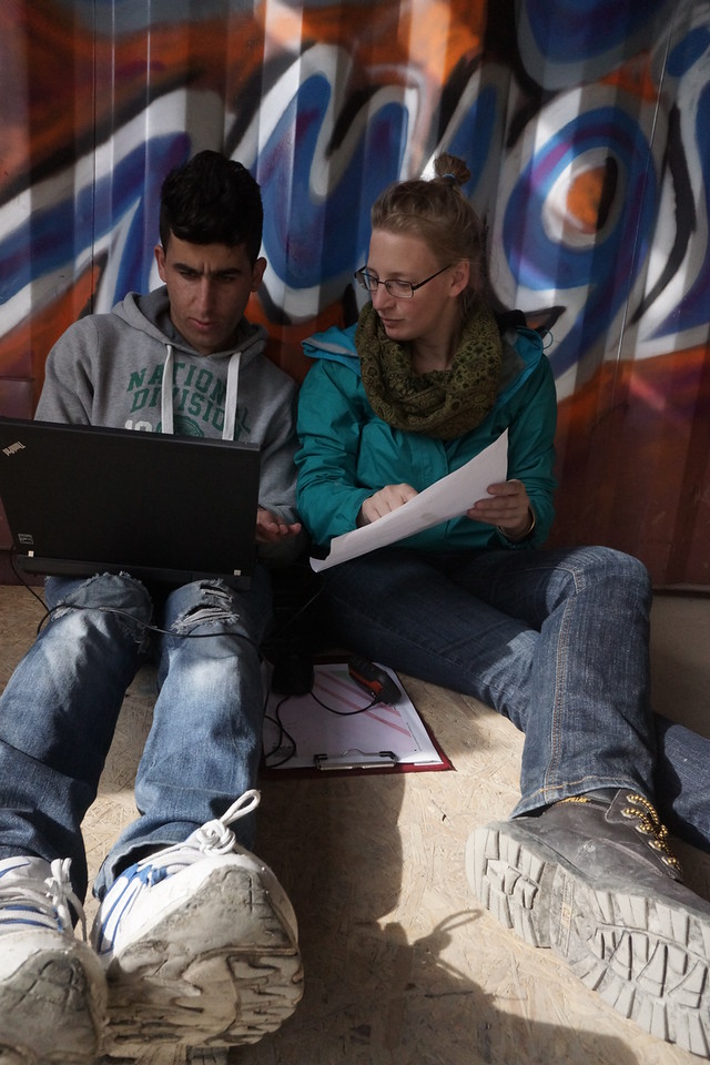
Jorieke, a 28 years old Belgian, has spend a lot of time the past few years to support local OpenStreetMap communities all over the world. She worked on several projects in Africa, Europe and Asia to train people and to promote OpenStreetMap by local and international players.

Where and when did you discover OpenStreetMap?
I discovered OpenStreetMap at the end of 2010, "you will enjoy it", and YES! I showed OpenStreetMap to my two brothers and together with them I mapped our village Wechelderzande Thanks to my student job as mailman, it was very easy, I knew half of the house numbers in the village by heart! Some time later, I discovered HOT, the Humanitarian OpenStreetmap Team, and Map Kibera. As social agoge, who had the ambition to work internationally and who was enormously interested in participation and spatiality, it simply had to interest me. My studies in 'Conflict and Development' gave me the opportunity to delve deeper in this type of mapping. I even got the chance to work for 6 weeks in Bangladesh for my master thesis. It gave me the possibility to talk with students and professors in architecture and spatial planning, the local OpenStreetMap community and a lot of people living in slums. And yes, it was them who really convinced me to use OpenStreetMap as a tool in humanitarian and development contexts. Precisely because they can put their neighborhood on the map themselves. After this project, everything went fast, a few months later I flew for the first time to Africa for the Eurosha project, in which HOT was one of the partners. And it never really stopped since then...
Do you use OpenStreetMap yourself?
Of course! The apps OsmAnd and Maps.ME have "saved" me several times when I am abroad. You should see the faces of the taxi drivers in Bamako or Abidjan, when I can navigate them without problems to my destination. And when you show them the apps, their surprise is complete. "OpenStreetMap for taxi drivers", would make a nice little project :-) Those apps also give me confidence when I walk around in an unknown neighborhood, because now you know where you are and where you want to go.
Besides this personal use, I also often use OpenStreetMap for my work. For example, during my last project in Côte d'Ivoire, the complete logistic planning was based on OpenStreetMap. Check out one of the maps I made with Umap for this purpose.
I was very gratefull for HOT's Ebola activation! The western part of the Côte d'Ivoire is about perfect! With a few corrections by people that knew the region very well, we got the logistics running smoothly. Other parts of the country were harder, driving around for 40 kilometers to get in that particular village, was not uncommon.

How and where do you map?
Most of the time I map were I am or were I have been. This means a lot in Belgium, but also in places where I had worked or had spend a vacation. Most of the time, I map the basics: roads, buildings, residential areas or points of interests. I leave more complex stuff such as relations or boundaries to other mappers. [JOSM](josm.openstreetmap.de) is indispensable for me. The main reason is that this editor does not require a constant internet connection! One can download data and aerial images, work for a few hours without network and electricity, and upload the data afterwards. This comes in handy when you are somewhere remotely in Africa! I am also a fan of less popular projects on the Tasking Manager. During a sudden natural disaster, a lot of attention goes to that one area at that particular moment, but there are a lot of countries with a forgotten crisis, such as Tchad, Mali or [South Sudan(http://www.openstreetmap.org/relation/1656678). There is a gigantic need for maps in those countries as well.
What is your largest accomplishment as a mapper?
Bangui! I lived and worked there for 3 months, participating in the Eurosha project at the end of 2012. Bangui is the capital of the Central African Republic (CAR). Before my stay, Bangui was hardly noticeable on the map. When I had to leave the country, it was there, and the data could be used by humanitarian organisations in times of crisis. The adrenaline was pumping through my body when we got a phone call in Cameroon from UN OCHA on the day of the coup when the whole city was looted, to ask whether we could help them. Of course we could!!!
At this moment there is a map of Bangui, which includes all health facilities and also in other parts of the country the map is improving via HOT remote mapping projects.
I am also very proud of the week I spend in Lubumbashi with Medecins Sans Frontiers (MSF): https://hotosm.org/updates/2014-04-01_a_week_in_lubumbashi_drc. Although I did not map a lot myself during that period, I instructed people to map for me :-) At the end of the week, around 15 students were walking around to collect data and we got tremendous help from remote mappers. After 4 days more than 60 people from around the world helped us. This synergy with Ivan Gayton of MSF, myself and the students in the field and the remote mappers, was the first seed from which the Missing Maps projects was born a few months later.

What is your motivation to map?
The community and the enormous passion of the people, which shows in small things. Some examples: Someone visiting a meetup with a bus that takes him 30 minutes more, simply because he had not mapped that particular route yet. The sparkle in someone's eye when her first edit appears on the map. The fire in the email discussions on the mailing lists, ...
But also how all this chaos, somehow coordinates to the result we see today on OpenStreetMap. A database build by ordinary people, but feeding economic development, and a key stone in some humanitarian projects.
OpenStreetMap is for me a great example of the inspiring "commons based economy" of Michel Bauwens.
Besides mapping, do you do other OpenStreetMap related tasks?
Since the spring of 2015, I am in the board of HOT. Besides that, I spend quite some time to answer all kinds of emails and to bring the right people in contact with one another. From time to time I do some translations, update the wiki and make a post on osm.be . I also speak on conferences, co-organise meetups and mapathons. At this moment I am busy with the organisation of the HOTsummit and the State of the Map conference.
To conclude, is there anything else you want to mention?
Do not be afraid, just make that first edit. Everybody can participate in OpenStreetMap, I am the living proof of that!