Open Streetlevel Imagery
27.09.2019 - OpenStreetMap Belgium
Why street level imagery matters and why it should be open
All around the world, people are making a digital twin of the world. They might want to know where the shops are, need data to train a driverless car algorithm, or want to know where the traffic signs are. This work is done by private companies, by government and by volunteers in crowdsourcing projects. Sometimes, this can be done by using satellite imagery. Sometimes going outside is needed. But very often, street level imagery is what is needed most. This allows to detect a lot of interesting features and allows to collect huge amounts of data without always having to go out.
However, this street level imagery is often not openly available. Google Street View exists, but it is illegal to use it for your own projects. The Flemish government recognized this need, and invested a serious budget in providing it to the government mapping sector. Unfortunately, the imagery was never opened up to the public, because it never was the property of the Flemish government itself. Privacy reasons were also mentioned as to why it couldn’t be opened. Now, the Flemish government has decided to discontinue this project. Local as well as Flemish administrations are rightfully worried and are looking for an alternative.
Opening up
The commercial sector continues to offer street view solutions. However, we haven’t seen a single project where the government retains ownership of the imagery. Instead of paying for data collection, you pay for access to the data. This means every single government organisation has to pay again and again to access the same data. And it means there is no hope that this time the data will be open. Government organizations should not go along with this. Payment for the data collection should happen only once, and ownership of the imagery should be transferred to the government. This way, tax payer’s money is used responsibly. By releasing the imagery as open data, its value for society is increased even more. It is the duty of government to try and make this happen.
In practice, it should mean that any street level imagery contract should be split in two: data collection, and services (like providing an easy-to-use viewer, deriving information with computer vision … ). Eliminating the dependency between data and services upon the data is necessary to create open data. Only if the images are released as open data, can there be a level playing field for specialisation in services, as well as the data collection itself. This will make it possible for smaller municipalities to also have access to useful imagery, even if they don’t have the budget for advanced services. Bigger municipalities (or municipalities joining forces) can go all the way with 360° imagery combined with LIDAR generated point clouds for precise measurements and all the extra services they might need.
Fast updates from the crowd
The classic approach to government street view is hi-tech, and expensive. It is also slow. Of course, it is nice to have a perfect 360° image, and to be able to have centimetre precision of any pixel you click in the image. But what if something changed and you want to see yesterday’s situation?
There is an almost free alternative, which trades some quality for higher speed. The answer is the crowd. There are several crowd-sourced imagery projects, which take advantage of motivated volunteers and ubiquitous smartphones or action cameras to create a base-level street level image of the world.
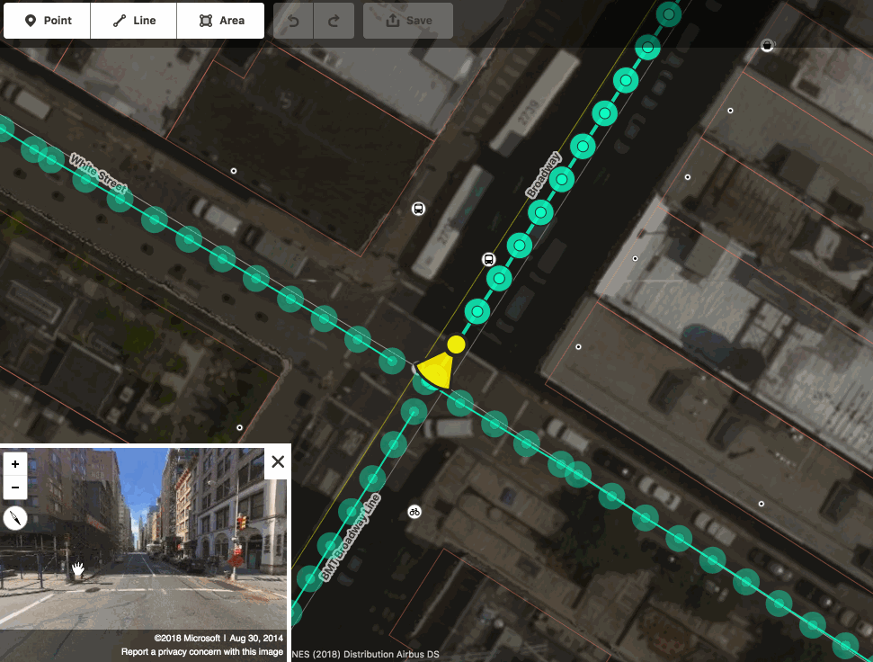
In Belgium, without any budget at all, several -million- pictures are openly available, taken by volunteers. Most of those volunteers collect them for their mapping in OpenStreetMap, the “Wikipedia of Maps”. With one donated camera from Mapillary, OpenStreetMap Belgium created 200.000 high quality images - all available under an open data license. Imagine what we could do if governments joined this crowd! These platforms are ready to host professional images too. The crowd is ready to support your mission too.
At OpenStreetMap Belgium, we want to work with you. If you lend us a camera and some basic funding, we will prioritize your area of interest and train your employees to continue the work. Imagine installing a new dog toilet today, and having a map with the new infrastructure and a clickable image literally tomorrow. Imagine your garbage collectors providing a quarterly update of each and every street in your town. Imagine motivating volunteers to take pictures of all the paths and trails. Imagine not doing anything at all and -still- getting daily updates.
Call to action
If open images exist, who knows what data will be derived from them? Computer vision can turn them into data about anything you like – for free if you work under CC-BY-SA 4.0, at competitive prices in other cases. All faces and license plates can be censored for free – by installing the right tools or by uploading them to a web portal. And most of all: you will be helping your colleagues in other government branches, as well as civil society around this country. It is your duty to consider this option.
If you are looking for low-budget solutions, contact us.
If you are working on public tenders, split them into a parcel for open data collection and a second part for service provision.
The OpenStreetMap Belgium role
We are contributing millions of openly licensed images in Belgium already. But we want to work for you, while working for ourselves. We need more street level imagery to be able to provide an excellent open basemap for everyone. We are volunteers, and we invest our time and sometimes our money to be able to do this. But we need support to improve the quality. Right now, we are looking for these cameras:
Blackvue Dashcam DR900S - ideal for a car, easiest to use
GoPro Hero 7 Black - multipurpose, fits a car, a bike or a hike
GoPro Fusion - if you need a 360 view
These cameras are inexpensive and easy to operate by anyone. In return for a camera donation or lease, we will focus on your area of interest. In return for a contribution in the costs, we will also provide training to your employees to collect imagery themselves, and provide ongoing support for technical issues. There are also low-cost solutions to provide microfunding to help direct attention to your area of interest. Contact us for details.
The OpenStreetMap community are dreaming of an open imagery depository where images can be dumped and service providers can use them to create value. We are looking for organisations that can help make this happen.
About us
OpenStreetMap Belgium works to improve the map in Belgium. We are a branch of Open Knowledge Belgium and a Local Chapter of the OpenStreetMap Foundation. Together we want to help build open map data for the benefit of the many, not the few.
Questions, remarks or suggestions? Send them to community (at) osm.be