Completing a 360° Cycling Journey Through Every Brussels Street
23.07.2023
Back when OpenStreetMap Belgium was discussing starting a camera grant project, Stéphane De Greef already bought his own 360° camera, a GoPro Max, which is the same camera we use, and started collecting street level imagery of the Forest des Soignes. For the first time, there would be a “streetview” of the forest!
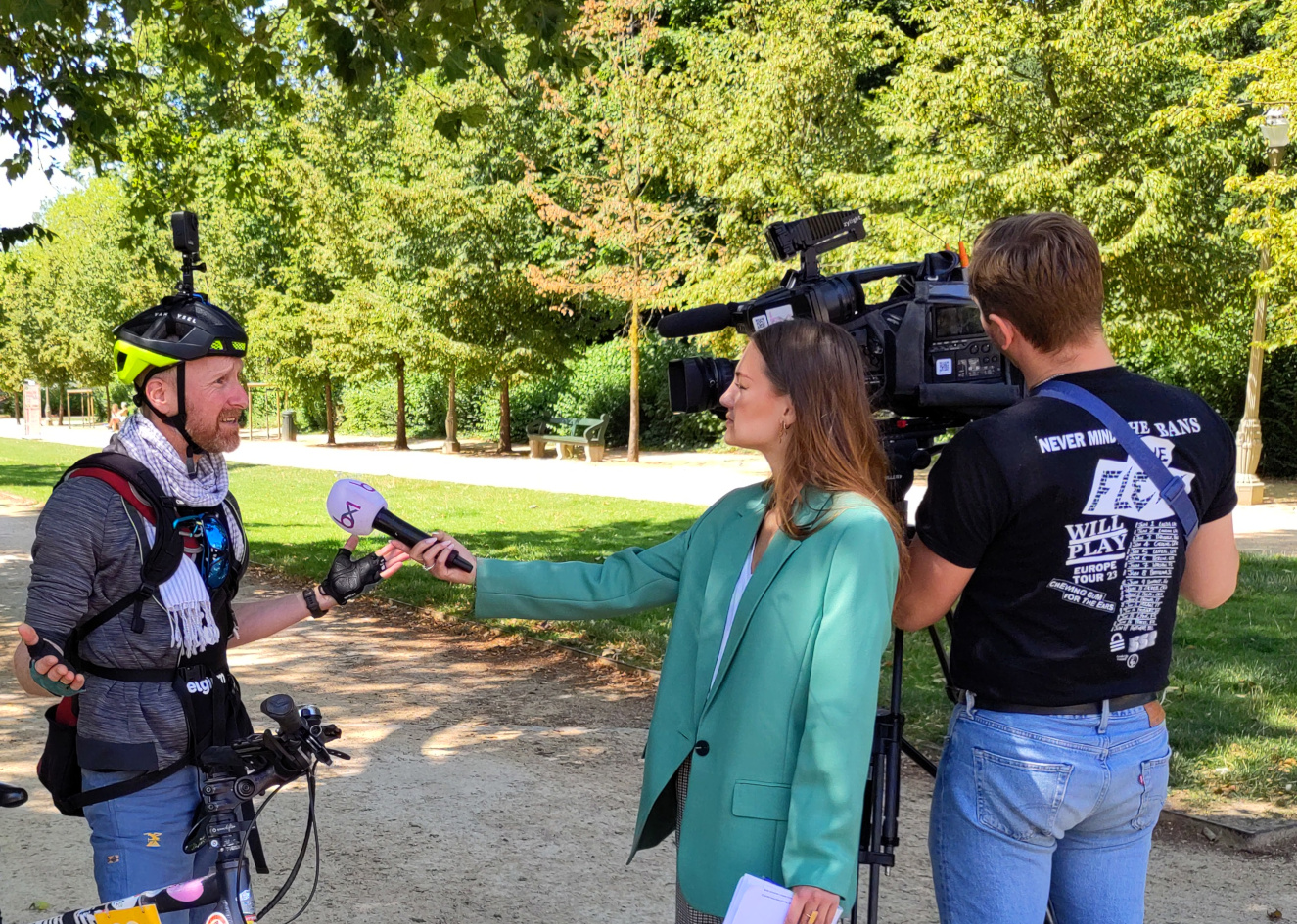
Things escalated a bit, and after some time, Stéphane decided to map every single street and path in Brussels. Covering about 4500km of cycling and capturing around 600,000 photos, it took him two years to achieve this. Now, he has finished the entire region. In the whole region of Brussels, there is now an open data alternative to Google Streetview - and this time including all the places a car can’t reach. During the entire process, we supported Stéphane, but really, it was his exemplary project.
All the images were uploaded to Mapillary, and are available under a CC-BY-SA license, which means they can be used by anyone for a variety of purposes. Municipalities, in particular, find this extremely valuable for their operations, and so do we as OpenStreetMap contributors. It’s worth noting that municipality and intermunicipality organizations themselves are slowly starting to create their own streetview imagery and uploading it to the same platform.
While Mapillary integrates nicely with the OpenStreetMap editing environment, we’re also looking into other platforms. We’re currently setting up our own instance on Panoramax, where we’ll also be hosting these images.
We tweeted/tooted about Stéphane’s success story. The message got amplified, and it was even picked up by a few journalists. We’re happy to be able to share some articles and videos with you.
- Bruzz (Dutch, with subtitles available in NL, FR, EN)
- BX1 (French)
- L’Avenir (French)
- Mapillary Blog and Mapillary webinar
Feel inspired? Read more about our camera grant project and apply for a camera.