Mapper of the Month: Guy Roman
01.01.2015 - Marc Gemis
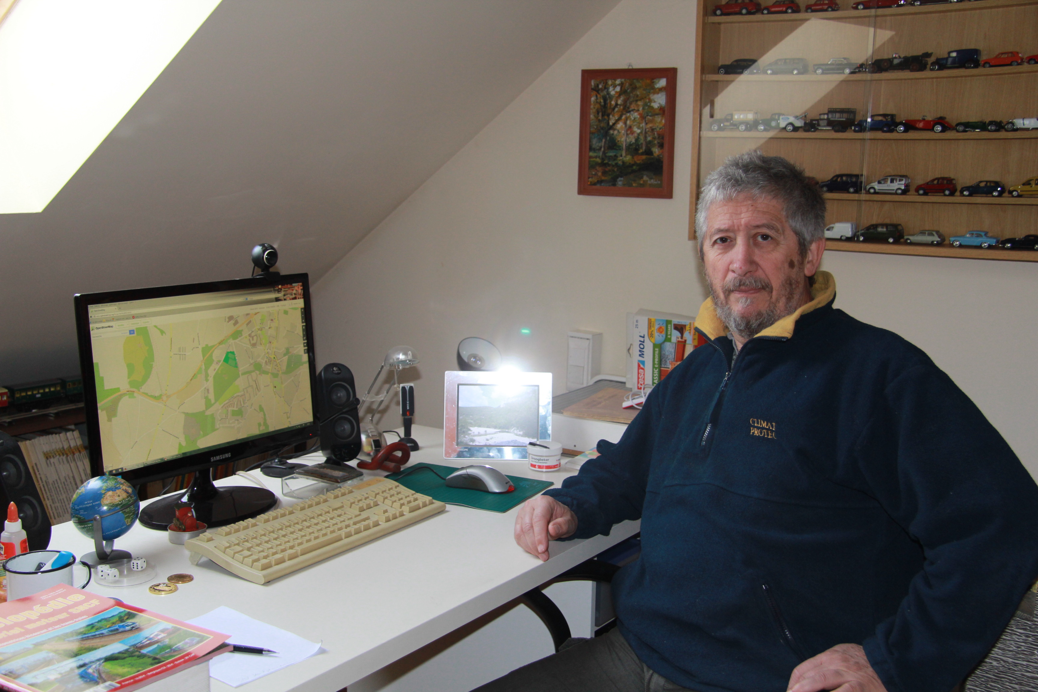
Since five years Guy Roman is retired. Before that he was technical electrician for a engineering company. He mainly followed up projects for energy distribution and automation. So he was already “drawing” during his career.
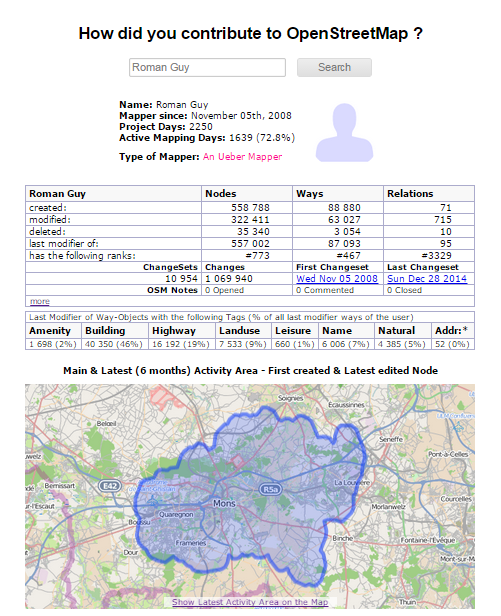
How and when did you discover OpenStreetMap? I accidentally discovered OpenStreetMap in 2008.
What kind of mapper are you and where are you mapping? I map a lot, mainly in Hainaut, a province in Belgium, but I also map abroad. Partly based on trips I make during my vacations, but I also base my mapping on photos that appeal to me. An example is a photo of St Rambert-en-Bugey in France that I found in a magazine about railways. I looked up the area in OpenStreetmap and then mapped it based on the picture and Bing arial images.
What do you map and do you have any specialisation? I mainly use the aerial images from Bing, but I combine this with the available GPS traces for ways that are invisible on Bing, e.g. in forests. Further I also do surveys, to determine the type of the roads for example. Quite regularly I go cycling 50 or 70 kilometers, where I verify my database of geographical data and if necessary I change things on OpenStreetMap.
Why do you map? It is fun, and it allows me to explore the world without leaving my house!
Do you do other things related to OpenStreetMap? I try to convince possible “passive” users to use OpenStreetMap, such as organisers of hiking trips.
How can OpenStreetMap be improved? I hope that the rendering of some details can be improved on the default map. An example are areas tagged as “natural=scree” for example near mountain rivers. It could be rendered similarly to beaches, but in grey. Another example: it would be nice to have a rendering for a stream on a bridge. At this moment it is only possible for a canal. Unfortunately I do not have enough knowledge to help out to improve this.
To conclude, is there something else you want to share with the readers? Only change an object when you are sure that it will be more precise or closer to reality than the current version. Also, when you have doubts about something, please contact the previous mapper to ask more details about the current mapping! Furthermore, please respect the classification of the roads. The classification of a road does not suddenly change to residential, because there are few houses.