Mapper of the Month: Vincent Van Eyken
30.09.2015 - escada
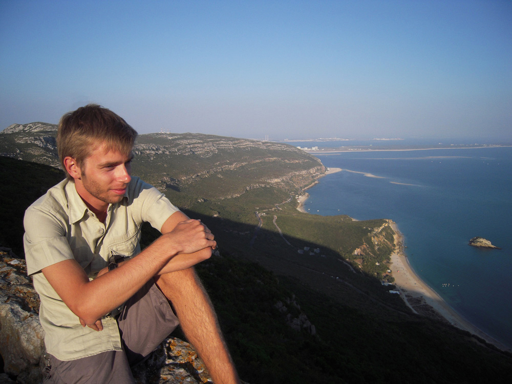
Vincent Van Eyken recently got his civil engineering degree, specialism architecture. With this background, it is not surprising that he has an healthy interest in topics such as urban planning and public space landscaping. But he also has a long lasting and strong passion for geography and cartography. Therefore it is almost natural that he ended up in the OpenStreetMap world. He maps under the nickname QuercE, which is derived from the Latin translation of his family name; ‘quercus’ (adj. ‘querceus’) is latin for ‘eik(en) / eyken’. Eik is the Dutch word for oak.

When did you start contributing?
A couple of years ago I was member of another collaborative mapping project, called Wikimapia. I decided to leave that project, among others due to the limited support, the small applicability of the project, the mapping experience and the frequent vandalism of the map. While I was surfing on the internet I accidently encountered OpenStreetMap.org. At the first stance, the project looked promising, accessible, well documented and with a decent map. Furthermore the map was evolving quickly, due to the growing group of users. After I created an account, which I did out of curiosity, it took a while before I really started to map. But after a few timid attempts, I got hooked, and now I regularly contribute something to the map. Also, because I started to see the potential of such an open data project as basis for a huge range of applications.
How and what do you map?
I started mapping with the online-editor Potlatch 2. But after awhile, I encountered its limitations to quickly map complex features. That was the moment I made the switch to JOSM. That editor might have a steep learning curve, but once you master it, it offers a wide range of possibilities: preparation and saving changesets, plug-ins, presets, using layers and filters, aligning images, etc. Of course, those features makes mapping more versatile and challenging. My first contributions were mainly points-of-interests and additions to the roads in my home town and the surrounding area. Even today, the majority of my contributions are small additions or changes in the wider environment around my house. Only sporadically, I map something further away, usually from a holiday destination. Often these are small features, something I noticed by chance, sometimes inspired by articles in the news, just something that gives me the reflex to check whether it is already in OpenStreetMap, and if not, whether I can map it myself. The things that I map in this way are a.o corrections to streets and their names, adding local retailers with opening hours, lanes and parking lanes, cycleways and cycling routes, path (“trage wegen” in Dutch). To summarise: all kinds of things. I try to alternate in what I map, just to keep it interesting, but also to improve my mapping skills. I am certainly not a specialist in a certain domain or technique. Although I try to keep on top of as many topics as possible. Unfortunately, I lack some discipline to properly prepare for a focussed survey, execute it conscientiously and process the accumulated data afterwards. So I soon turned more into an “armchair mapper”. Especially, because most of the time, I start mapping in a flush, whenever I have time and when I am in the mood. During my studies, I used OpenStreetMap often as a distraction and a more or less useful form of procrastination. One of the fields I am working on during those mapping sessions, are the boundaries of the villages. For this, I use old digitalised maps such as Atlas der Buurtwegen, or the plans of villages by Popp. Due to the nature of the job, it has to be done from behind a PC.
Do you use OpenStreetMap yourself?
In the past I have used MapOSMatic a couple of times to quickly obtain a detailed map for a city trip. At this moment, I try to use the OsmAnd-navigation app on my SmartPhone as much as possible. I also succeeded in convincing some friends to use the app, especially for cycling and hiking trip. So, indirectly I convinced them of the use of OpenStreetMap. During skiing vacations I use a Teasi One² gps device with OpenStreetMap maps to plan trips and register the ski slopes.
How do you stay up-to-date with OpenStreetMap news?
I mainly use talk-be-mailinglijst to stay informed on what is happening in the in my community, but I have to admit that I am just lurking most of the time. I would like to mention that I learned a lot by searching the archive of the mailing list. This archive is full of relevant and specific information for any mapper that wants to map features in Belgium.
Do you have contact with other mappers?
When I just started, I got useful tips from a number of people on what and how to map. That changed over time and now I can sporadically give a tip to another mappers. But it is a comforting idea that you can build upon the work of a strong community of enthusiast people. So far I did not had to opportunity to participate in a meet-up or mapping party, but I hope to go to one in the future. It seems like a good method to improve my skills and of course, to get to know the other mappers.
How can we grow the OpenStreetMap Community?
I believe that the average person is not familiar enough with the name OpenStreetMap. We do not need to start large advertising campaigns, but it would be great that the data of OpenStreetMap is equally known and consulted (in any form) as often as e.g. the pages of Wikipedia. The OpenStreetMap data can already be found in several websites, in apps etc.. Sometimes is it obvious that OpenStreetMap data is used, in other cases it is more hidden. This gives the average end user a scattered view of what OpenStreetMap is and does not properly show its capabilities. Of course there are several more user-friendly and interactive applications (openlinkmap.org, flosm.de, the OsmAnd-app…) that give a clear way to access certain data, but too often they can only be found after some research. Research that not everybody is willing to do. Therefore I think the community should keep on focusing on improving the accessibility of the data, first and foremost via the map on the main page of OpenStreetMap.org. The possibility to retrieve route descriptions from this page is already a huge benefit. But it would be interesting to be able to click on POIs and obtain a pop-up with more details. This feature could be something that attracts more user and mappers. In order to improve the local mapping community, it might be an idea to contact the local societies and clubs (such as Chiro, Scout groups, Davidsfonds, Okra, etc.). Perhaps we find some potential mappers, that would be willing to map their cycling and hiking trips or even just map the environment of their clubhouse in detail.
Why do you map?
In the first place, it is a fantastic way to turn one’s fascination for geography into a hobby. Furthermore, the idea that the things that you map, – no matter how small or irrelevant they may seem–, will be used by others (cyclist, skiers, hikers, students, researchers) in an infinite number of possible projects, gives some satisfaction and is certainly a stimulus to continue mapping. Since we live in a world where the value of information keep growing, it is good to see that there are several open source projects, such as OpenStreetMap, under development to make this, often crucial, data available to a large public.
Is there anything else you would like to say?
I would only like to give the advice to keep on mapping with a lot of enthusiasm. Or in case you are not mapping yet, to start with it. This will not always be easy and you might have to invest some time in learning new things, but it certainly worth the effort.